Global ocean sets hottest daily temperature on record — in August
The average temperature of the world's oceans reached 21.1 degrees Celsius on August 22, the highest daily reading ever recorded and an unusual one because sea temperatures normally peak in spring, not late summer.
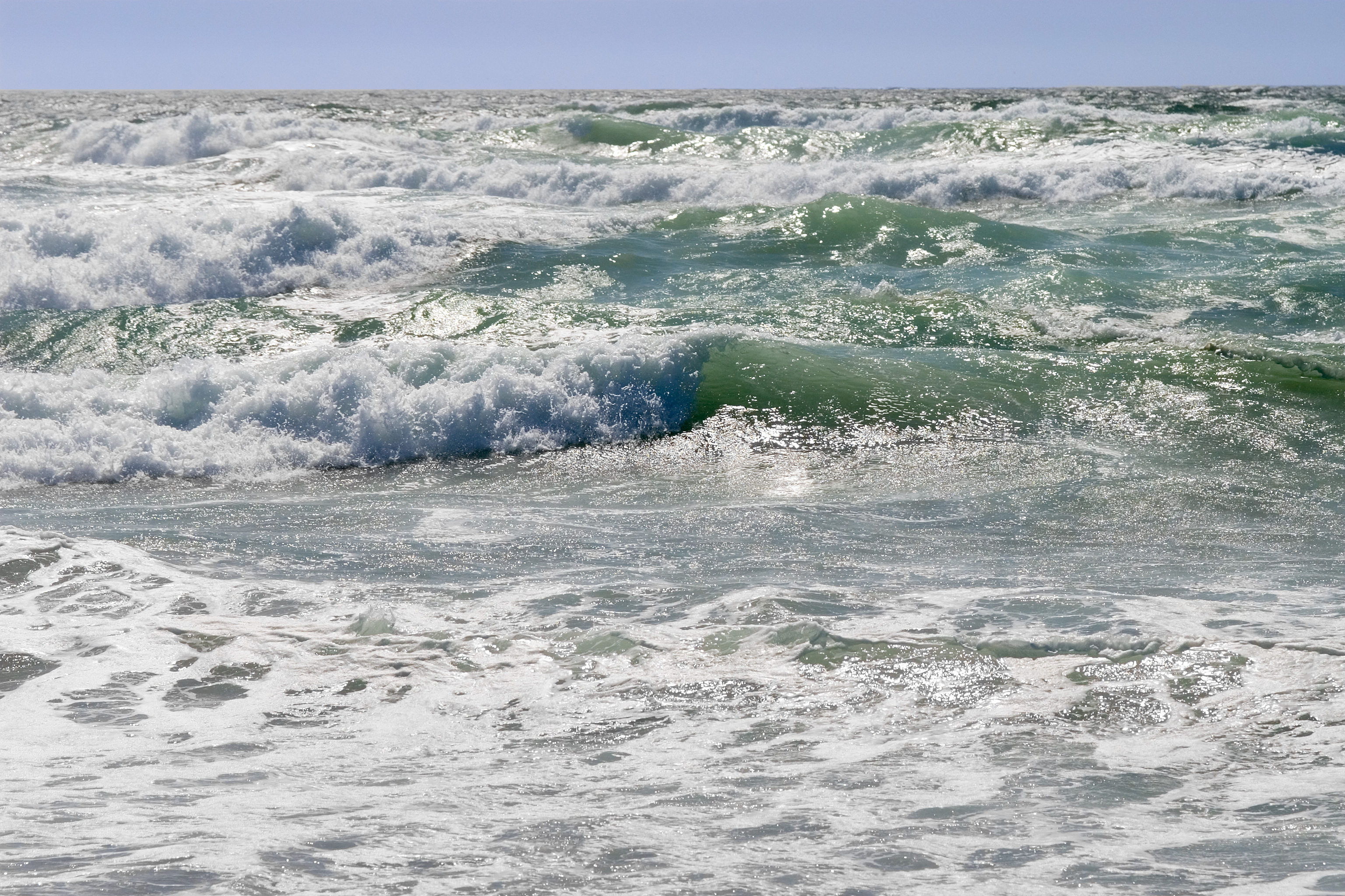
The world's oceans reached their hottest daily average temperature ever recorded on August 22, according to the European Union's Copernicus Climate Change Service — a record made more unusual by its timing, since global sea temperatures typically peak in early spring and are normally declining by late summer.
What happened
The global average sea-surface temperature, measured across the ocean between 60 degrees north and south latitude, reached 21.1 degrees Celsius on August 22, edging past the previous all-time daily record of 21.09 degrees set in March 2024. It also far exceeded the prior August record of 20.98 degrees, set in August 2023. Samantha Burgess, strategic lead for climate at the European Centre for Medium-Range Weather Forecasts, which implements the Copernicus service, told reporters the reading reflects forces building for months. "This record is another clear signal of an ocean under growing stress," she said. "El Niño is adding heat to the system, but it is doing so on top of decades of human-driven warming."
The numbers
The August 22 reading was roughly 0.67 degrees Celsius above the 1991-2020 average for that calendar date, and compares with a reading of just 20.15 degrees on the same date in 1979, when satellite-based sea-surface temperature records begin, according to an analysis of the Copernicus figures published Monday. Marine heatwave days — periods of unusually warm ocean water that stress marine life — have more than tripled worldwide since the early 1990s, according to Copernicus data. The record follows on the heels of Copernicus's own July bulletin, which had already confirmed the hottest July sea-surface temperature on record, at 20.96 degrees, alongside a summer of exceptional heat and drought across Western Europe.
Why it matters
Ocean temperatures almost always peak in March or April, in the weeks following the Southern Hemisphere summer, then decline through the rest of the year. A record set in August, while temperatures should already be trending downward seasonally, is what several scientists flag as the most scientifically notable feature of this event, since it suggests the underlying warming trend is now strong enough to override the normal seasonal cycle at the peak of an El Niño.
Context
The record comes as forecasters track a strengthening El Niño. The World Meteorological Organization said in late July that El Niño conditions were expected to intensify through the northern hemisphere autumn, with Pacific sea-surface anomalies forecast to exceed 2.9 degrees Celsius, a magnitude some forecasters have compared to the strongest El Niño events on record. A companion monitoring service, Copernicus Marine, corroborated an earlier version of the same warming signal when it jointly announced a June 21 sea-surface temperature record with the climate service, a precursor to this month's reading. Forecasters have also flagged a positive Indian Ocean Dipole developing alongside the current El Niño, a pattern that tends to compound extreme-weather effects across East Africa, South Asia and Australia by reinforcing temperature and rainfall anomalies already in motion.
United Nations Secretary-General António Guterres has linked the two trends directly, saying in a WMO statement issued as the El Niño forecast was updated that the phenomenon is "adding fuel to a planet already on fire with scorching heat domes and record hot seas." WMO Secretary-General Celeste Saulo struck a more practical note, saying the advance warning gives governments time to prepare: "Forecasts provide governments and communities a window of opportunity to anticipate risks and act before impacts unfold."
"Current conditions could indicate the beginning of a new phase, leading, once more, to uncharted territory," said Carlo Buontempo, director of the Copernicus Climate Change Service, when the June record was announced. "With ocean temperatures at these levels and El Niño on the horizon, we are likely to see more temperature records fall in the coming months."
Copernicus derives its daily sea-surface figures from the ERA5 reanalysis dataset, which reconstructs global weather and ocean conditions back to 1940 using satellite, ship and buoy observations, blended through a product known as OSTIA that estimates temperature at roughly ten meters depth. A separate Copernicus Marine Service, run by Mercator Ocean International, tracks sea-surface temperature independently using its own ocean model, and its readings have moved in step with the climate service's figures throughout this year, giving scientists two independent confirmations of the warming trend rather than a single data source.
Who is affected
Warmer oceans raise the risk of coral bleaching and disruption to fish stocks that commercial and subsistence fisheries depend on, while reducing the ocean's capacity to absorb atmospheric carbon dioxide, a feedback that can accelerate future warming. Thomas Frölicher, an environmental physicist at the University of Bern, said the anomalies are particularly pronounced closer to Europe. "From the Atlantic waters off Ireland to the Mediterranean Sea, Europe's seas are experiencing an alarming surge," he said, attributing the trend to "climate change, in particular by the continued burning of fossil fuels." Coastal communities face compounding risks from warmer water, including more intense rainfall and storm systems that draw energy from elevated sea temperatures, along with the slower, steady contribution warmer oceans make to sea-level rise through thermal expansion.
What happens next
Copernicus and the World Meteorological Organization both say further record-breaking readings are likely before the end of the year as El Niño approaches its peak, expected sometime between August and October. Scientists will be watching Copernicus's next monthly climate bulletin, typically published roughly ten days after each month ends, for an official confirmation of August's monthly average, and monitoring coral-reef health assessments and hurricane-season intensity for downstream signs of how much damage the extra ocean heat ultimately causes. Some forecasts reviewed by Copernicus scientists suggest the elevated temperatures could persist into 2027, which several researchers say has a real chance of becoming a record warm year in its own right if the current El Niño follows the trajectory of past strong events.

Long-Predicted "Backsplash" Galaxies May Have Finally Been Found Near the Pinwheel

Margaret Hamilton, Software Pioneer Behind the Apollo Moon Landings, Dies at 90

An enormous, recurring cloud on Mars reveals a new way ice can form
