NOAA Raises Odds of Historic-Strength El Niño to 75% for This Winter
Sea surface temperatures in the equatorial Pacific have pushed past 3 degrees Celsius above average, and federal forecasters now say the event underway could become the strongest on record.

Federal climate forecasters raised their confidence Wednesday that the El Niño now developing in the tropical Pacific will become the strongest ever recorded. In its latest ENSO Diagnostic Discussion, issued September 10, NOAA's Climate Prediction Center said there is now a 75% chance that the October-through-December 2026 event will exceed the strength of every El Niño on record dating back to 1950, up from 69% a month earlier.
The center's full diagnostic discussion reports sea surface temperature anomalies in the eastern equatorial Pacific already exceeding 3.0 degrees Celsius above average, with an El Niño Advisory in effect. Separately, NOAA's Climate Prediction Center puts the odds of a "very strong" El Niño event — a slightly less extreme but still historically rare threshold — at 98% for the fall and winter, up from 95% the month before, according to the same discussion.
A "historic" designation, in NOAA's terminology, refers to a three-month Relative Oceanic Niño Index value of 2.5 degrees Celsius or higher — a bar that would put the current event ahead of the previous record-holders, including the powerful El Niños of 1997-98 and 2015-16, both of which reshaped winter weather across North America and contributed to widespread coral bleaching and drought disruption in the Pacific. Researchers at NOAA's Geophysical Fluid Dynamics Laboratory have been tracking the event's rapid intensification through the Northern Hemisphere summer as part of the agency's routine seasonal modeling.
NOAA cautions that a stronger event does not guarantee a particular regional outcome, even as it increases confidence in some of El Niño's classic signatures. The Climate Prediction Center's outlook favors above-normal precipitation across the southern tier of the United States this winter, with the highest odds over the Southeast, while below-normal precipitation is favored across the Northwest and north-central states. A stronger, more southward-shifted Pacific jet stream typically steers the winter storm track toward the Gulf Coast and Southeast, drying out the Northern Rockies and Ohio and Tennessee valleys, and tends to bring warmer-than-usual conditions to the northern tier of the country.
The event is also reshaping this year's hurricane seasons on both sides of North America, according to Fox Weather's analysis of the NOAA data. El Niño tends to suppress Atlantic hurricane activity through wind shear while supercharging the eastern and central Pacific basin; this season the Atlantic has produced just five named storms and no hurricanes so far, an unusually quiet pace, while the Pacific has already recorded 16 named storms, six hurricanes and three major hurricanes.
Coverage from The Watchers notes that the current trajectory, if it holds through the coming months, would place 2026-27 among a small handful of "super" El Niño winters in the satellite era — a group that historically has produced significant swings in global temperature, agricultural yields and wildfire risk well beyond North America, including drought stress in parts of Southeast Asia, southern Africa and northern South America.
NOAA updates its ENSO probabilities monthly, and the Climate Prediction Center is expected to issue its next full advisory in October, when forecasters will have several more weeks of ocean-temperature data to refine the outlook heading into the heart of the Northern Hemisphere winter.
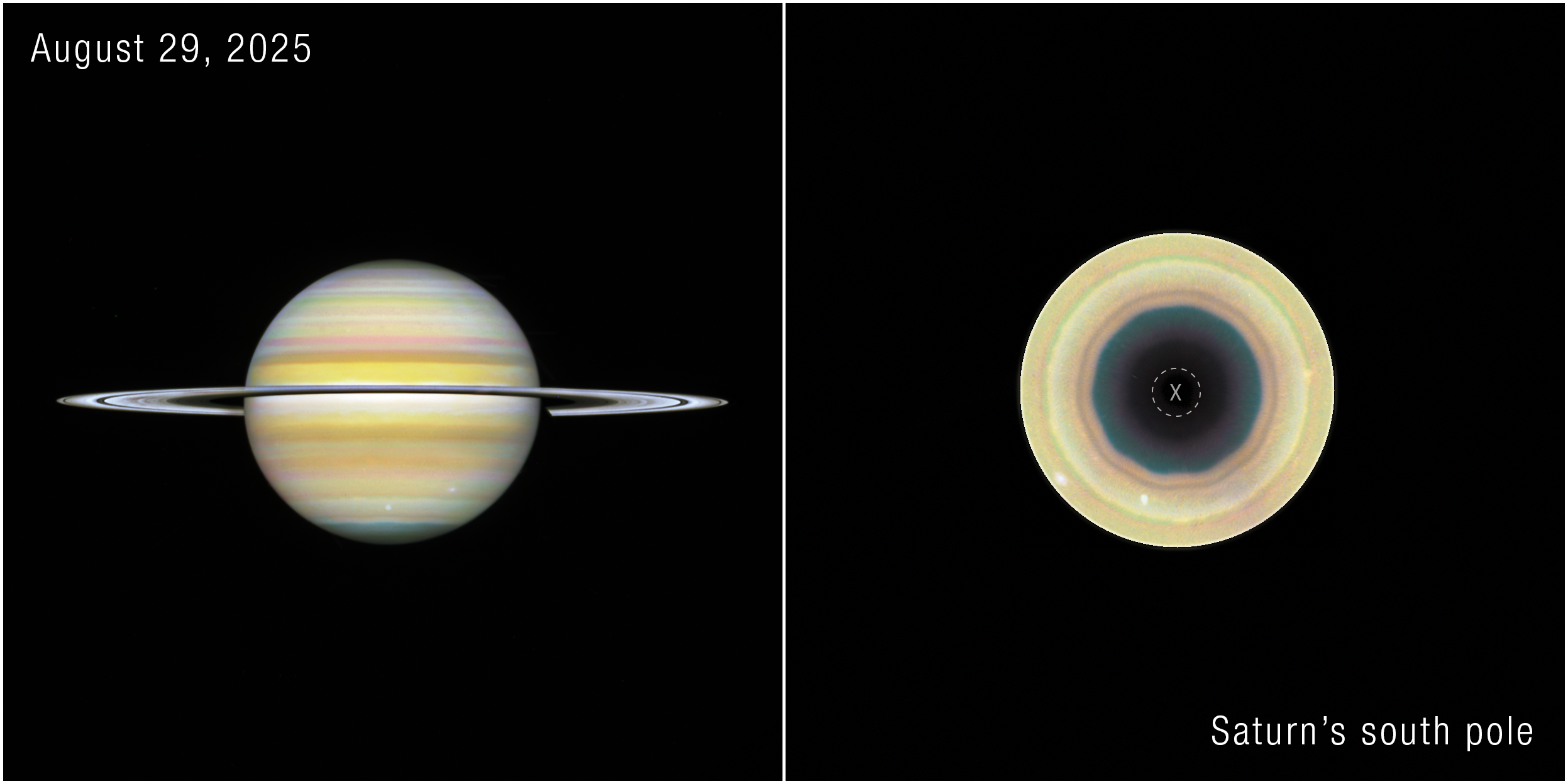
Hubble finds a ten-sided wave forming around Saturn's south pole
Archived Chandra data reveal a hidden class of X-ray objects
Cedars-Sinai Identifies Protein That Lets Aging Cells Evade the Immune System