Highway Crash Sparks Wildfire, Forces Evacuations on Yosemite's Western Approach
A cement truck and a tour bus collided on a blind curve of Highway 140 in California's Sierra Nevada foothills Tuesday, igniting a blaze that has burned 250 acres, forced evacuations along the Merced River canyon and closed the lower gateway to Yosemite National Park.

A two-vehicle crash on a blind curve of Highway 140 ignited a wildfire in the Sierra Nevada foothills Tuesday afternoon, forcing mandatory evacuations along the Merced River canyon and closing the highway's lower approach to Yosemite National Park, according to state fire officials.
The Colorado Fire, named for the road where it started, was first reported at 1:26 p.m. near Highway 140 and Colorado Road, about 10 miles west of the national park's boundary. Within two hours it had grown from a roadside spot fire to more than 170 acres; by 6 p.m. it covered 250 acres. CAL FIRE's Madera-Mariposa-Merced Unit had not posted a formal containment percentage by early evening, though an update logged at 6:22 p.m. said the fire was "spreading at a slow to moderate rate" and backing down toward the river canyon as rising humidity slowed its advance, with crews "making good progress." No injuries to firefighters or residents had been reported.
Forty-five structures — a mix of residential, commercial and other buildings — were listed as threatened. CAL FIRE had assigned 126 personnel, 14 engines, four helicopters, two bulldozers, three water tenders and three hand crews to the fire, with additional air tankers flying retardant runs from around the state, according to the agency's incident report. Steep, brushy terrain slowed ground crews' access to parts of the fire line, leaving aircraft to do much of the early work.
A Crash on a Blind Curve
The fire's origin traces to a highway collision minutes before the first reports of smoke. According to ABC30's account, citing the California Highway Patrol, a cement truck traveling eastbound on Highway 140 crossed into the westbound lane while navigating a curve and collided with a tour bus. The truck overturned; the resulting wreck is believed to have sparked dry roadside brush.
The tour bus driver was not injured, and no passengers were aboard at the time, according to the report. The cement truck driver was conscious after the crash and was taken to a hospital; the extent of any injuries had not been released Tuesday evening. CAL FIRE's own incident log lists the fire's cause as "under investigation," and the crash itself remains under review by the CHP.
Evacuations Along the Merced River Canyon
The Mariposa County Sheriff's Office issued mandatory evacuation orders for three zones covering Rancheria Creek Road, the community of Briceburg and its campgrounds, and the Octagon area — all clustered along the canyon floor below the fire. A fourth zone was briefly placed under an evacuation warning in late afternoon before being lifted around 5:50 p.m. as the fire's spread slowed. Residents can track which zones remain active through the county's Alert Center, and a call center was set up at 844-668-3473 for evacuees seeking information, including on sheltering large animals.
Highway 140 — the lowest-elevation and most reliably open of Yosemite's three main entrance routes — was closed in both directions between Briceburg and the Bug Hostel, a closure that effectively cut off the corridor used daily by park visitors, seasonal workers and residents of the small community of El Portal. A Red Cross evacuation shelter accepting small animals opened at New Life Christian Church on Cole Road in Mariposa.
Businesses along the still-open portion of the highway watched the smoke with concern. Tony Roman, manager of the Cedar Lodge hotel in El Portal, several miles up-canyon from the fire, described the mood as workers and guests eyed the shifting wind.
"We can see the smoke, for sure. We are concerned about the winds. They are blowing in our direction," Roman said.
A Fire-Prone Gateway to Yosemite
The Merced River canyon has burned repeatedly in recent decades, a reflection of steep, brush-covered slopes, a road corridor that sees heavy vehicle traffic, and increasingly long, dry fire seasons across the Sierra foothills. The 2018 Ferguson Fire burned nearly 97,000 acres in the same general area, killed two firefighters and forced the complete closure of Yosemite Valley for roughly three weeks at the height of summer tourist season. Four years later, the Oak Fire exploded to nearly 19,300 acres southwest of Mariposa and destroyed close to 200 homes and outbuildings before firefighters gained control of it.
Tuesday's fire grew quickly through the same kind of terrain, aided by low humidity and afternoon winds typical of late-summer conditions the National Weather Service's Hanford forecast office, which covers the southern Sierra foothills and San Joaquin Valley, has been monitoring for elevated fire danger in recent weeks. CAL FIRE's own updates noted the fire posed a particular risk of establishing itself in the river canyon before evening humidity began to slow it.
What Happens Next
Evacuation orders for Briceburg, Rancheria Creek Road and the Octagon area remained in effect Tuesday night, and Highway 140 stayed closed with no reopening timeline announced. CAL FIRE said an incident management team had not yet been assigned, with the local Madera-Mariposa-Merced Unit continuing to run the response as of the evening update. Investigators with the CHP and CAL FIRE were expected to continue examining the crash and how it ignited the blaze in the days ahead.
Park officials have not reported any direct threat to Yosemite Valley itself, roughly 10 miles to the east, or to other park operations, though the closure disrupts one of three main routes into the park during the final weeks of the summer travel season. County officials urged residents in and near the fire area to continue monitoring official alerts rather than relying on smoke visibility alone to judge the danger.
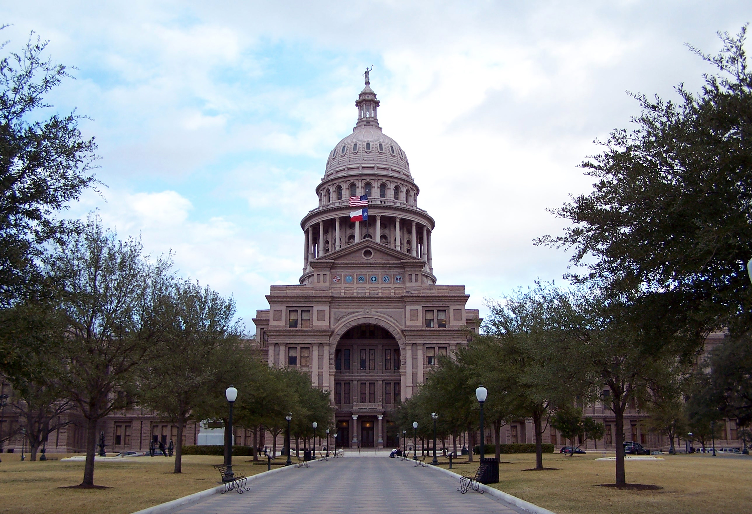
Texas Opens Record Early Voting Clouded by New Registration Backlog

Gunman kills three children and a teacher at Bend elementary school before parent and teacher stop him

'No Kings' coalition pivots from protest to the polls with nationwide early-voting push
